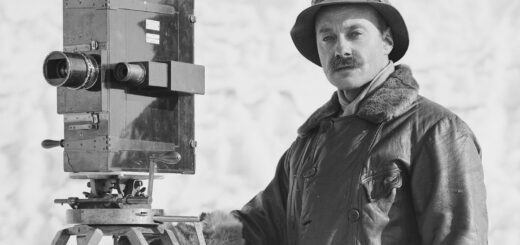
Neil Armstrong on the North Pole
On April 6, 1985, Sir Edmund Hillary, the first man to scale Mt. Everest, Neil Armstrong, the first man on the moon, Steve Fossett, the first to fly a balloon around the world, Patrick...
On April 6, 1985, Sir Edmund Hillary, the first man to scale Mt. Everest, Neil Armstrong, the first man on the moon, Steve Fossett, the first to fly a balloon around the world, Patrick...
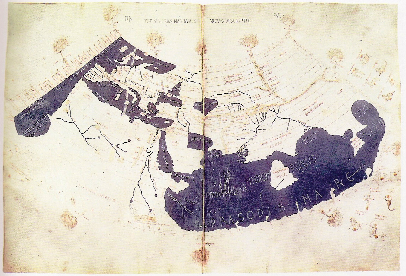
The Ptolemy world map is a map of the known world to Hellenistic society in the 2nd century CE. It was based on the description contained in Ptolemy’s book Geographia, written c. 150. Although...
![]() Höfði 24, 640 Húsavík
Höfði 24, 640 Húsavík
Tel. +354 848 7600
info@explorationmuseum.com
The 10th edition of the Explorers Festival will take place in Húsavík from November 6 to 10, 2024
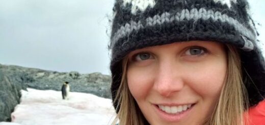
antarctica / arctic / exploration
Exploring the Polar Regions with Dr. Ulyana Horodyskyj Peña
February 17, 2025