The first flat map of the World
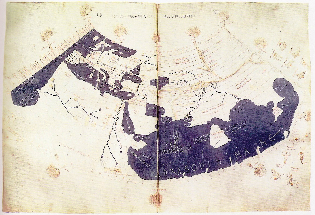
The Ptolemy world map is a map of the known world to Hellenistic society in the 2nd century CE. It was based on the description contained in Ptolemy’s book Geographia, written c. 150. Although authentic maps have never been found, the Geographia contains thousands of references to various parts of the old world, with coordinates for most, which allowed cartographers to reconstruct Ptolemy’s world view when the manuscript was re-discovered around 1300 CE.
Perhaps the most significant contribution of Ptolemy and his maps is the first uses of longitudinal and latitudinal lines and the specifying of terrestrial locations by celestial observations. When his Geographia was translated from Greek into Arabic in the 9th century and subsequently into Latin in Western Europe at the beginning of the 15th century, the idea of a global coordinate system revolutionized medieval Islamic and European geographical thinking and put it upon a scientific and numerical basis.